
TLDR
A magnitude 7.4 earthquake struck western Colombia on 10 August 2026, killing at least 111 people and collapsing more than 1,000 buildings. President Gustavo Petro declared a national disaster to release emergency funds as search-and-rescue teams moved into Chocó.
Update, 12 August: The confirmed toll has passed 224 with more than 3,000 people missing. Read our latest report.
The ground gave way at 13:09
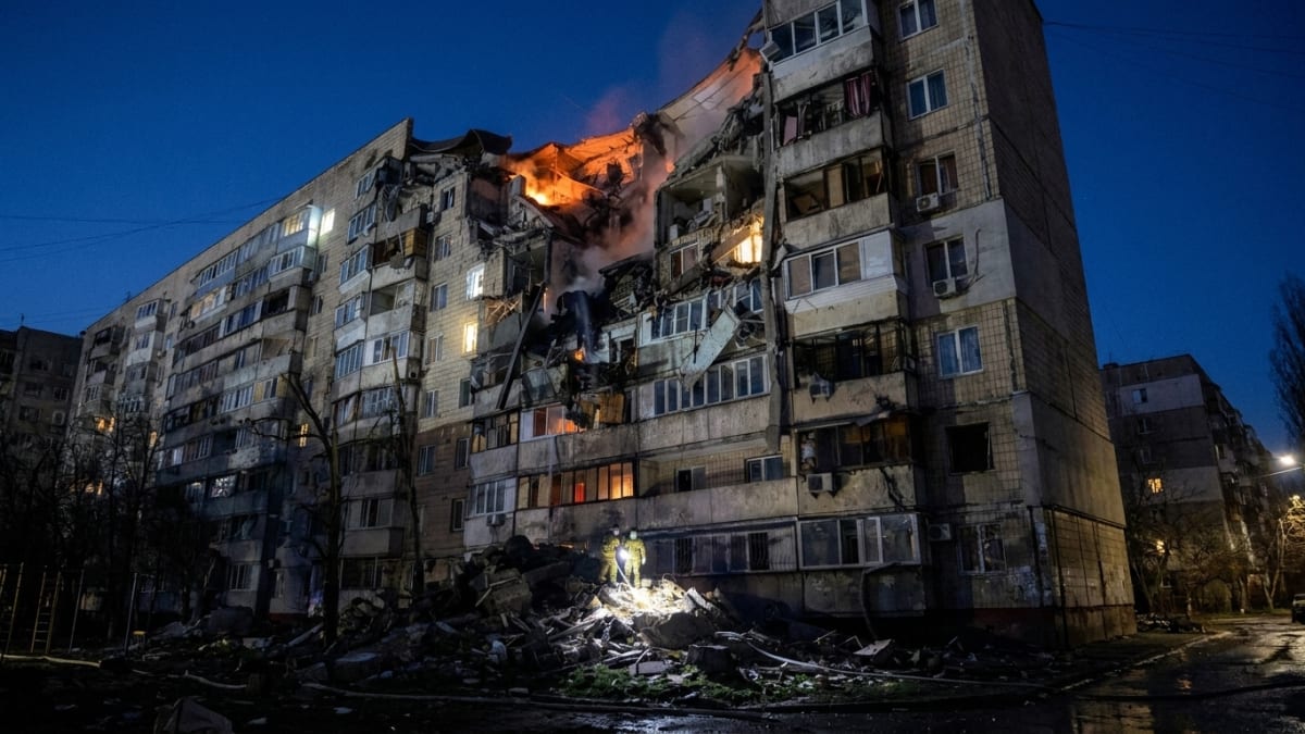
A magnitude 7.4 earthquake, with its epicentre near the town of San José del Palmar in the department of Chocó, killed at least 111 people and left more than 1,000 buildings collapsed or severely damaged.[1] The toll, compiled by Colombia's national disaster authority, the Unidad Nacional para la Gestión del Riesgo de Desastres (UNGRD), was still being updated as rescue teams pressed into the hardest-hit zones. The quake struck at 13:09 UTC on 10 August 2026.
Tremors were felt as far away as Colombia's capital Bogotá, Ecuador's capital Quito, and Panama City, a geographic spread that underscores the event's extraordinary energy release.[1] In each of those cities, residents reported swaying buildings, interrupted transport and a sharp anxiety about conditions at the source. The answer, when it came through, was grim.

Petro's declaration and what it unlocks
President Gustavo Petro moved quickly, invoking Decreto 1372 de 2024 to declare a situation of national disaster and authorise the release of emergency funds.[2] The declaration streamlines procurement rules that would otherwise slow the purchase of equipment, the hiring of contractors and the movement of military assets into the field.
UNGRD director Javier Pava Sánchez gave the starkest official assessment of what the country was facing. Pava Sánchez said that the seismic event is the strongest recorded in Colombia so far this century and has forced the mobilisation of all search and rescue teams.[4] The UNGRD is Colombia's lead agency for disaster coordination, integrating military engineers, civilian search-and-rescue teams and aerial assets for damage assessment.
Responding in Chocó is logistically difficult under any conditions. Dense rainforest, steep terrain and limited road networks mean that strong ground shaking, which destabilises hillsides and damages bridges, compounds access problems fast. That combination of seismic exposure and infrastructural vulnerability is what makes the region so dangerous when a large event occurs.[3]
Why this part of Colombia shakes
Western Colombia lies at the convergence of the Nazca and South American tectonic plates, where the Nazca plate subducts beneath the continental margin at rates exceeding 60 millimetres per year, making it one of the most seismically active regions in the country.[3] That boundary has generated some of the largest earthquakes in South American history, including a magnitude 8.8 event in 1906 and a magnitude 6.2 quake near Armenia in 1999 that killed more than 1,100 people.
Inland from the offshore plate boundary, crustal fault systems extend beneath the western departments, including structures connected to the Pallatanga fault running into Ecuador. Those faults pass beneath populated valleys, under towns built of brick and unreinforced concrete, and through areas where building-code enforcement has historically been inconsistent. The casualty toll in a large event reflects not only the energy released but the accumulated choices of decades of development in exposed terrain.[3]
Colombia's 1999 Armenia quake reshaped national policy on disaster preparedness and led directly to the institutional framework the UNGRD now operates under. Whether that framework proves adequate to an event of this magnitude will become clearer as rescue teams dig through debris in towns that may have lost road access entirely since early afternoon on 10 August.
International response takes shape
The United Nations Office for the Coordination of Humanitarian Affairs, the International Red Cross and neighbouring-country search-and-rescue contingents began coordinating assistance within hours of the quake. What had been formally deployed versus what remained pledged was not fully established at the time of writing, a distinction that matters for communities still waiting for help.
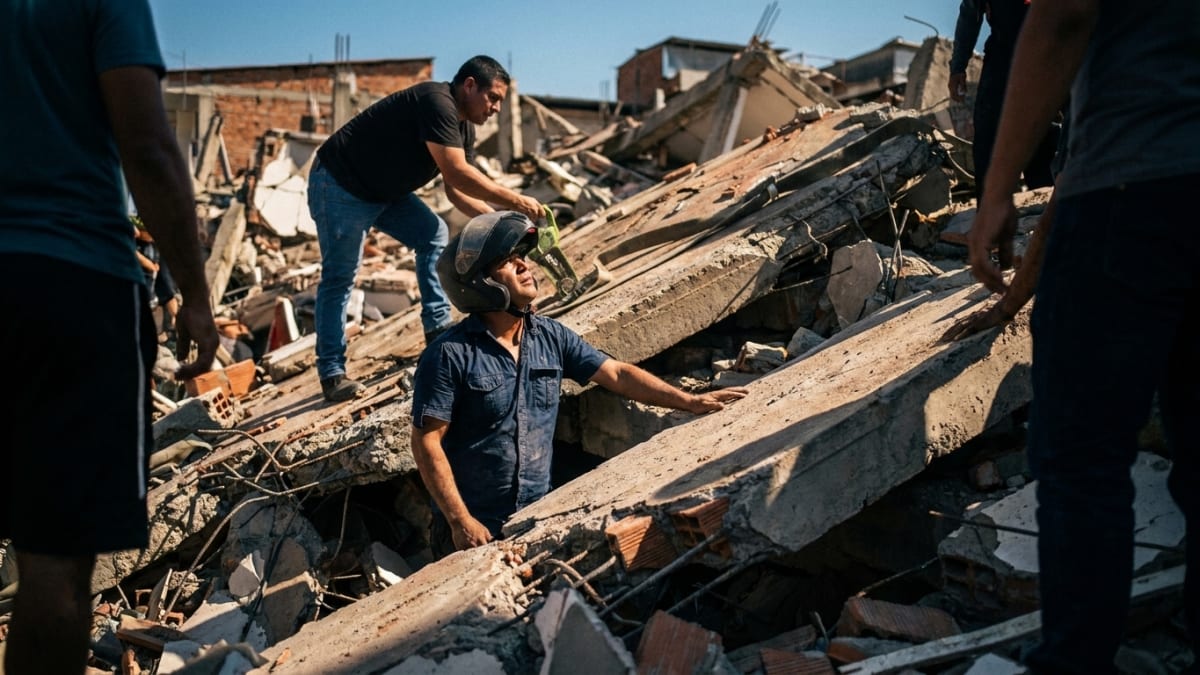
Aerial assessment is a first priority because road conditions into Chocó cannot be assumed intact. Military engineers capable of clearing debris and restoring access corridors are a limiting resource, and urban search-and-rescue teams certified to work through collapsed concrete structures take time to stage forward into a remote region. These constraints describe the physical problem every response team now faces.[1]
The death toll of at least 111 will almost certainly rise as teams reach areas cut off since the quake struck. More than 1,000 buildings collapsed or were severely damaged across western Colombia.[1] How far that number climbs will depend, in part, on how quickly the road to San José del Palmar can be reopened.
KEY TAKEAWAYS
SOURCES & CITATIONS
FREQUENTLY ASKED QUESTIONS
Where exactly did the earthquake strike?
Why is Chocó particularly vulnerable to earthquakes?
What does a national disaster declaration allow the Colombian government to do?
Is this the strongest earthquake Colombia has ever experienced?
Margaret Hale writes about politics, policy and the culture of business. She is drawn to the people behind decisions and to the moments when a political story turns out to be a human one.